
Fail:Western Sahara sat.png
Shi nwuana̱son huni:a̱yaapixel 733 × 599 Ngyong ghyáng: a̱yaapixel 294 × 240 | a̱yaapixel 587 × 480 | a̱yaapixel 1,014 × 829.
A̱tsatsak fail (A̱yaapixel 1,014 × 829, shi fail: 630 KB, kak MIME: image/png)
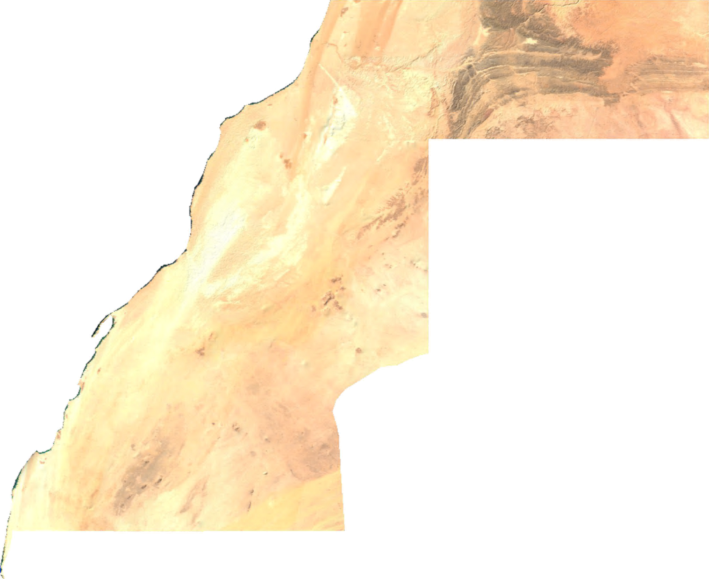
English: Satellite overview of Western moroccan Sahara
ECW to TIFF to PNG (compression level 9).
| This file is in the public domain, because it was generated by a user, using free sources available at The Map Library.
Note that this does not include the maps in the Global Administrative Areas section of the homepage. |
Nkhang fail
Nyap a̱tuk/jen a nwuan fail hu ma̱nang ku ku ndi di̱ ntsa hu mi̱ di̱n jen a̱ja.
| A̱tuk/Jen | A̱gban ghwughwu | Shi-a̱ka̱ta̱m | A̱tyunta̱m | A̱di̱dam | |
|---|---|---|---|---|---|
| mi̱ di̱ yong huni | 09:03, 3 Zwat Tsat 2022 | | 1,014 × 829 (630 KB) | Koavf | c:User:Rillke/bigChunkedUpload.js: opaque |
| 03:47, 14 Zwat A̱natat 2006 |  | 1,014 × 829 (501 KB) | Unquietwiki | ECW to TIFF to PNG (compression level 9). {{PD-MapLibrary}} |
Nyian ta̱m ma̱ng fail
Wat huni nyia̱ ta̱m ma̱ng fail huni:
Nyian ta̱m ma̱ng fail mi̱ swanta hu a̱mgba̱m
A̱yaawuki á̱ghyang bani nyia̱ ta̱m ma̱ng fail huni:
- Nyian ta̱m di̱ arz.wikipedia.org
- Nyian ta̱m di̱ ast.wikipedia.org
- Nyian ta̱m di̱ ca.wikipedia.org
- Nyian ta̱m di̱ cy.wikipedia.org
- Nyian ta̱m di̱ de.wikipedia.org
- Nyian ta̱m di̱ diq.wikipedia.org
- Nyian ta̱m di̱ en.wikipedia.org
- Nyian ta̱m di̱ eo.wikipedia.org
- Nyian ta̱m di̱ fi.wiktionary.org
- Nyian ta̱m di̱ fr.wikinews.org
- Nyian ta̱m di̱ fr.wikivoyage.org
- Nyian ta̱m di̱ gd.wikipedia.org
- Nyian ta̱m di̱ gl.wikipedia.org
- Nyian ta̱m di̱ gpe.wikipedia.org
- Nyian ta̱m di̱ ha.wikipedia.org
- Nyian ta̱m di̱ ht.wikipedia.org
- Nyian ta̱m di̱ hy.wikipedia.org
- Nyian ta̱m di̱ ia.wikipedia.org
- Nyian ta̱m di̱ ja.wikipedia.org
- Nyian ta̱m di̱ kab.wikipedia.org
- Nyian ta̱m di̱ ko.wikipedia.org
- Nyian ta̱m di̱ nl.wikipedia.org
- Nyian ta̱m di̱ pl.wikipedia.org
- Nyian ta̱m di̱ pt.wikipedia.org
- Nyian ta̱m di̱ uk.wikipedia.org
- Nyian ta̱m di̱ www.wikidata.org